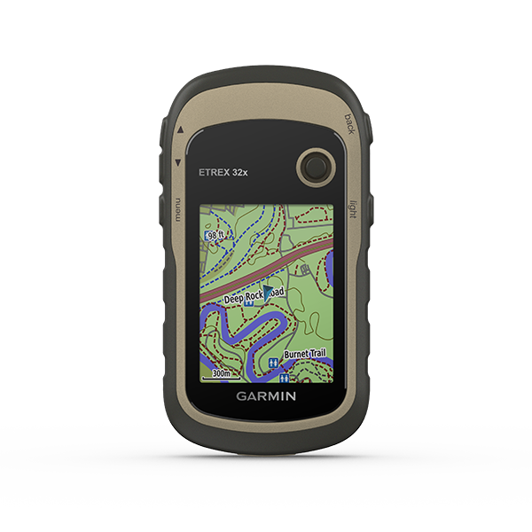
Explore the Terrain
The eTrex 22x and 32x handheld devices come preloaded with road-routable TopoActive maps for outdoor activities that feature streets and trails so you can take the journey off the grid. Now you can know your surroundings — such as waterways, natural features as well as buildings, international boundaries and more. You can also find thousands of points of interests, including shops, restaurants, universities, car parks and accommodations.
Go Anywhere
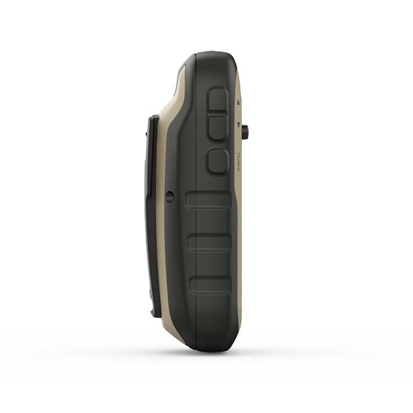
With an array of compatible mounts, eTrex is designed as a handheld — for use on ATVs or bicycles, in boats or on foot. Use the auto mount capability and City Navigator® NT maps for turn by turn driving directions for motorized vehicles, or use the rugged mount for your motorcycle or ATV. Wherever you think you might take eTrex, it has the mapping and mounts to get you there.
Keep Your Fix
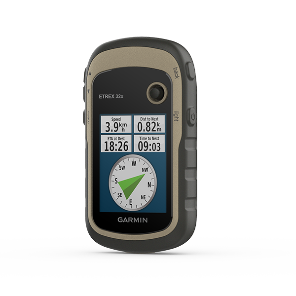
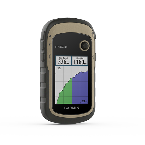
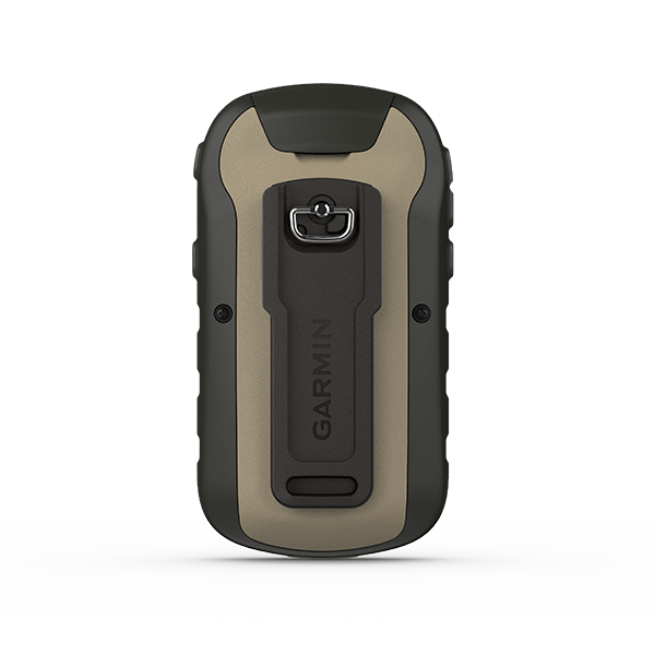
The eTrex series uses both GPS and GLONASS satellite systems so the receiver has the ability to track in more challenging environments than GPS alone. eTrex 32x adds a 3-axis compass and barometric altimeter, making it easy for you to keep your bearings.
Satellite Imagery
Both devices support BirdsEye Satellite Imagery (subscription required), so you can download and integrate satellite imagery with your maps.